2023
Full-Stack Engineer
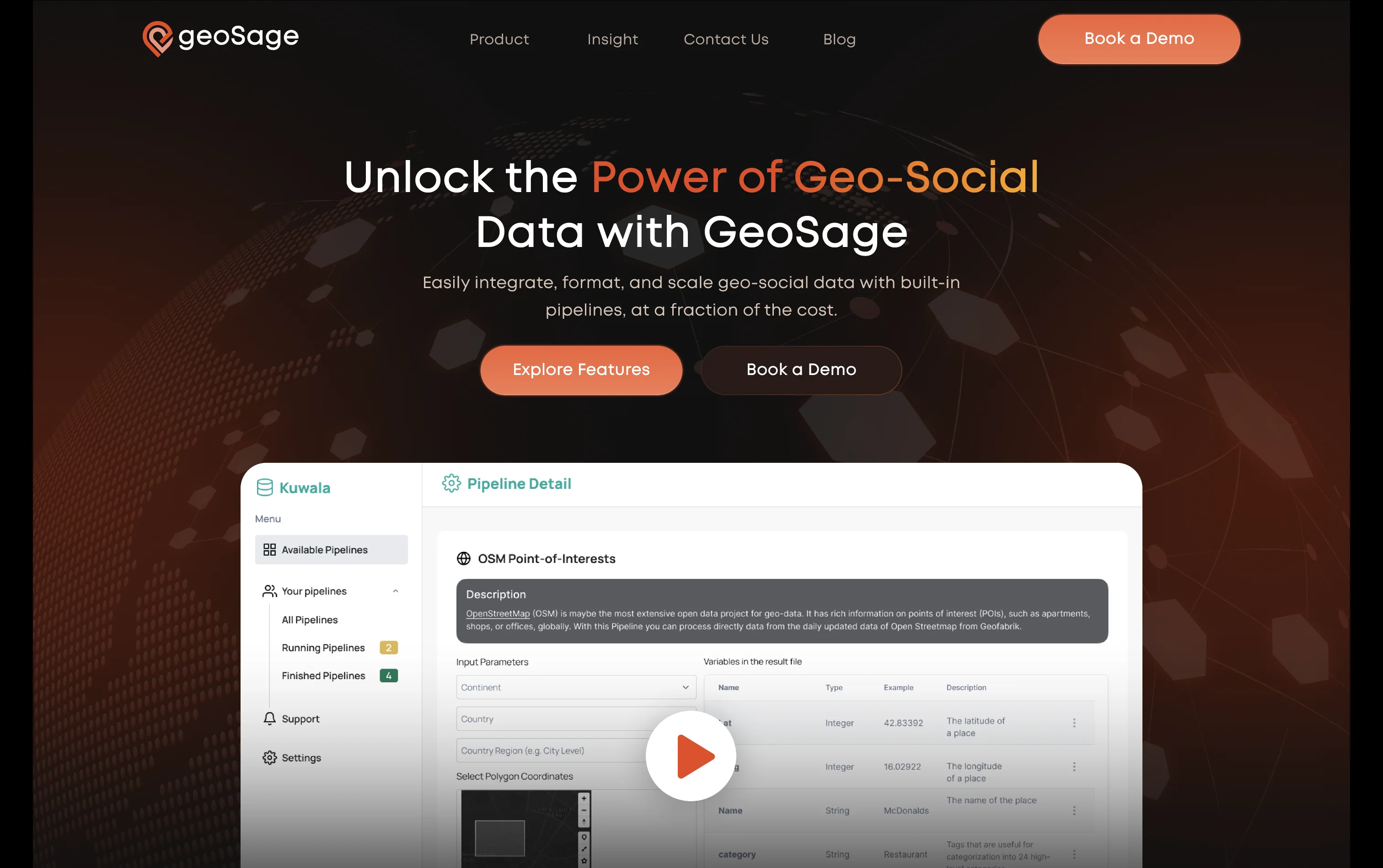
Geosage
Geospatial analytics platform combining ETL workflows and an interactive dashboard for business decision-making.
Project Overview
Geosage is a geospatial analytics product that combines ETL tooling with a dashboard for processing and visualizing location-based datasets. The goal was to give business users faster access to geospatial insight without forcing them to work directly with raw data pipelines.
Problem
Geospatial workflows become hard to trust when extraction, transformation, and reporting are split across different systems. Teams needed a way to collect and prepare data consistently, then expose it through a dashboard that made the output easier to analyze and act on.
Solution
The product joined ETL and analytics into one workflow. Data could be gathered, transformed, and loaded into a structured store, then exposed through an interface built for business users rather than GIS specialists. That reduced the gap between technical data preparation and day-to-day decision-making.
React powered the interactive dashboard, while FastAPI handled API delivery and ETL orchestration in Python. PostgreSQL served as the primary database for processed datasets and geospatial queries, giving the system a reliable foundation for both structured data handling and spatial analysis.
Impact
Geosage made geospatial data easier to process, query, and understand in one product. The ETL tooling improved the reliability of dataset preparation, and the dashboard gave users a clearer path from raw spatial data to usable business insight.